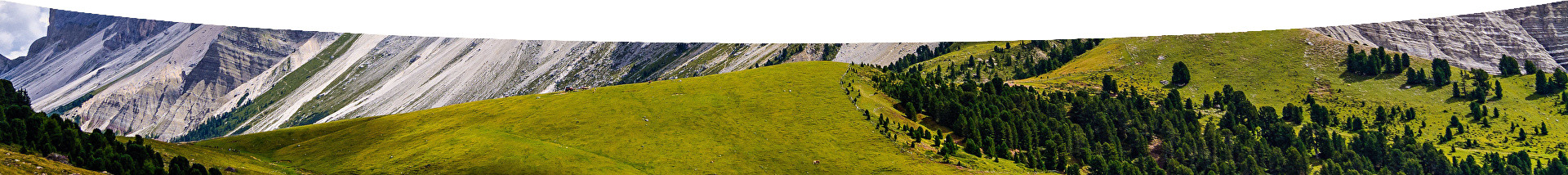
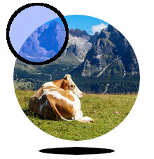
Mountain pasture monitoring using satellite data. The goal of this use case is to use satellite remote sensing data to calculate Spectral Vegetation Indices changes across different years or during the same mountain pasture season, providing useful information for a more sustainable pasture management.
This use case combines information from airborne remote sensing data (hyperspectral and lidar) and field data in order to produce tree species and aboveground biomass maps, estimated for each individual tree crown.

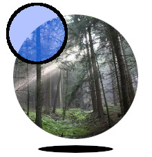
Forest trees physiological conditions monitoring inside natural park of Paneveggio, based on TreeTalker sensors IoT technology. Two networks with 25 TreeTalker sensors each, one in a beech and one in a spruce forest, have been installed inside the natural park for continuous monitoring of the following parameters, measured for each single tree: leaves spectrum reflectance, trunk growth, water usage, soil and stem humidity, air temperature, and plant stability. Data gathered can be used to understand the response of trees to climate.
The detection of grassland mowing frequency is based on time series analysis of vegetation indexes derived from Sentinel-2 imagery and provides an assessment at both pixel and parcel resolution.
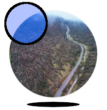
Many bark beetle species feed on weakened, dying, or dead spruce, fir, and hemlock. Thus the massive amount of fallen trees due to the Vaia storm represents an high risk area for bark beetle proliferation. This tool aims at estimating the locations most impacted by bark beetle proliferation, providing also a confidence level for such estimation.
As for the case of the Natural Park of Paneveggio, the goal of this use case is to use satellite remote sensing data to calculate Spectral Vegetation Indices changes across different years or during the same mountain pasture season, providing useful information for a more sustainable pasture management.
Forest-fire related conditions monitored inside selected vegetated areas inside Regione Puglia, based on TreeTalker sensors IoT technology. The dashboard comprises a map showing the locations of the sensors. An info window shows the most recent information available for each sensor and provides a link to the visual representation of the historical data (via Graphana).
This application determines a fire risk index by combining information about fire-related sensors like TreTalkers Fire (minimum daily stem humidity, maximum daily leaf temperature, maximum daily reference probe temperature) with weater forecasts (72h forecast with WRF CMCC model) and vegetation classification maps.
Co-financed by the Connecting European Facility Programme
of the European Union under Grant agreement n° INEA/CEF/ICT/A2018/1815462